
Open coastal intelligence
Explore live public data
Icon legend
Select to add/remove from map.
Water level stations
Stream gauges
Drifter
Water quality sensor
Coastal radar
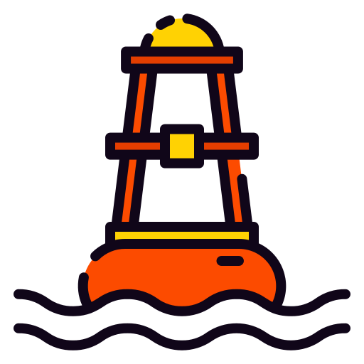
Wave buoys
Weather
Fish counter
NDBC Buoys
Need inspiration? Tap “Explore a random sensor” above the map to jump directly into a live feed.